
Dunbartonshire
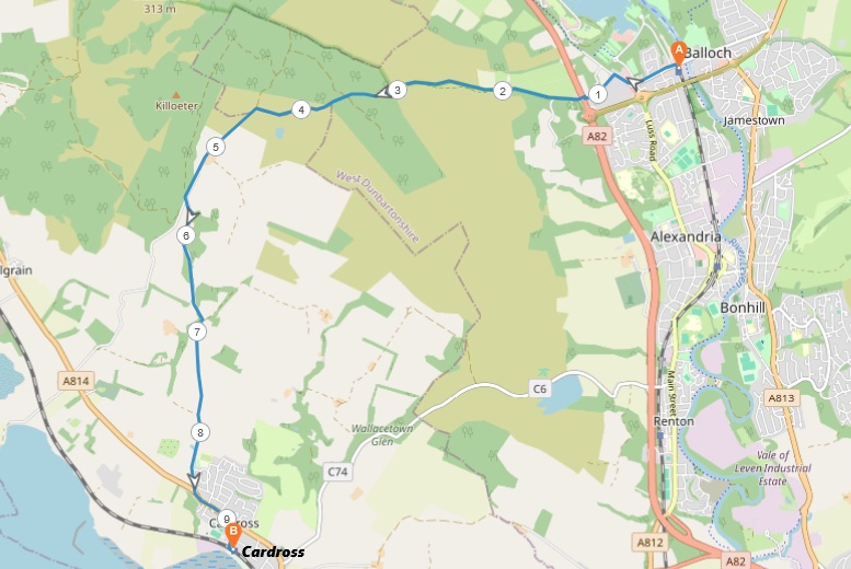
6 miles / 9 km
A hilly walk over the hill between Balloch at Loch Lomond and Cardross at the Clyde River.

Medium hard
This walk is on a blend of tarmac, gravel, cobblestones and mud. It is very steep in the first 1 miles. Thereafter pretty moderate. The views towards Ben Lomond, Loch Lomond, Stirlingshire and the Clyde is superb. This is therefore a great walk if good views is what you want. Good shoes and plenty of drink is recommended. This walk is also suitable as a winter walk.

Train to Balloch train stop from Glasgow/Partick 2 times an hour.
Bus from Glasgow to Balloch 2-4 times an hour (not recommended due to the lengthy journey).
The walk starts from the Balloch train stop, the terminus on this line. Take the Balloch Road to the left up to the roundabout. From the roundabout, take the Old Luss Road to the right for the next 300 yards/meters to the signpost "Public footpath. Cardross 8 miles" to the left. This path is also a part of the John Muir Trail from Helensburgh to North Berwick.
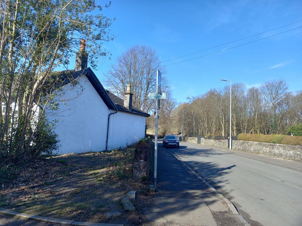
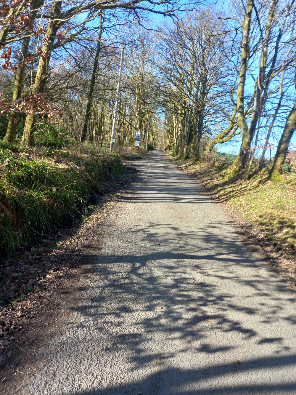
The tarmac road is flat and then rises until it reaches the footbridge over the Glasgow - Fort Williams. The Upper Stoneymollan Road, tarmac, is really steep up through the forest here.
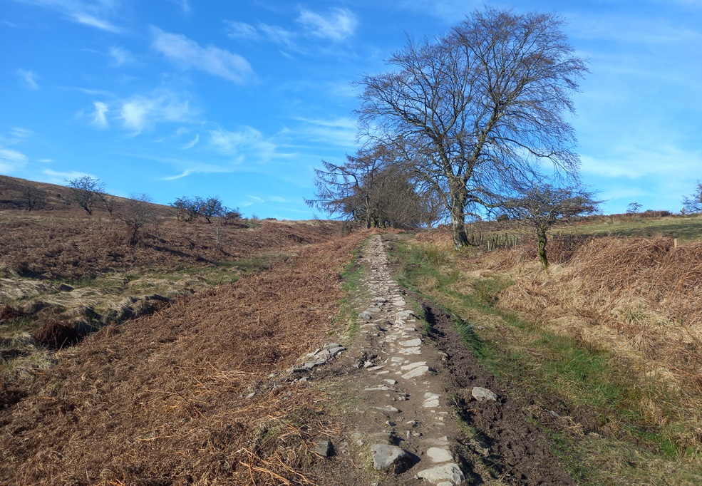
The tarmac ends at the end of the forest and muddy, cobblestoned path takes over up this barren landscape next to a burn. The path is rising steadily towards the top of the hill.
The views towards Ben Lomond, Loch Lomond, Balloch and Stirlingshire is superb along this path. It get even better at the top of the hill. The path ends up on a couple of false summits before it tops out around 800 feet/ 250 meters above sea level.
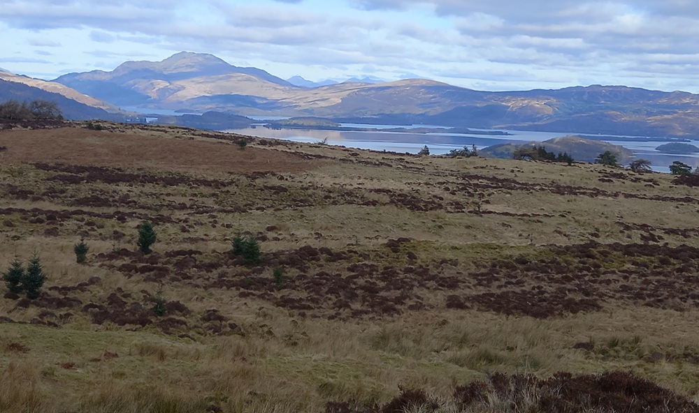
The path goes through a gate and ends up in a gravel path 400 yards/meters after the gate. There is a muddy, boggy and wet shortcut straight down the hill towards Cardross here. I have heard very bad things about this path which shortens this walk with about half a mile/ 1 km. My suggested walk continues on this gravel road to the right. This road takes the walk through a new forest until it reaches a crossroad. Take the small gravel road to the left. The views here are opening up towards the Clyde river and Port Glasgow below.
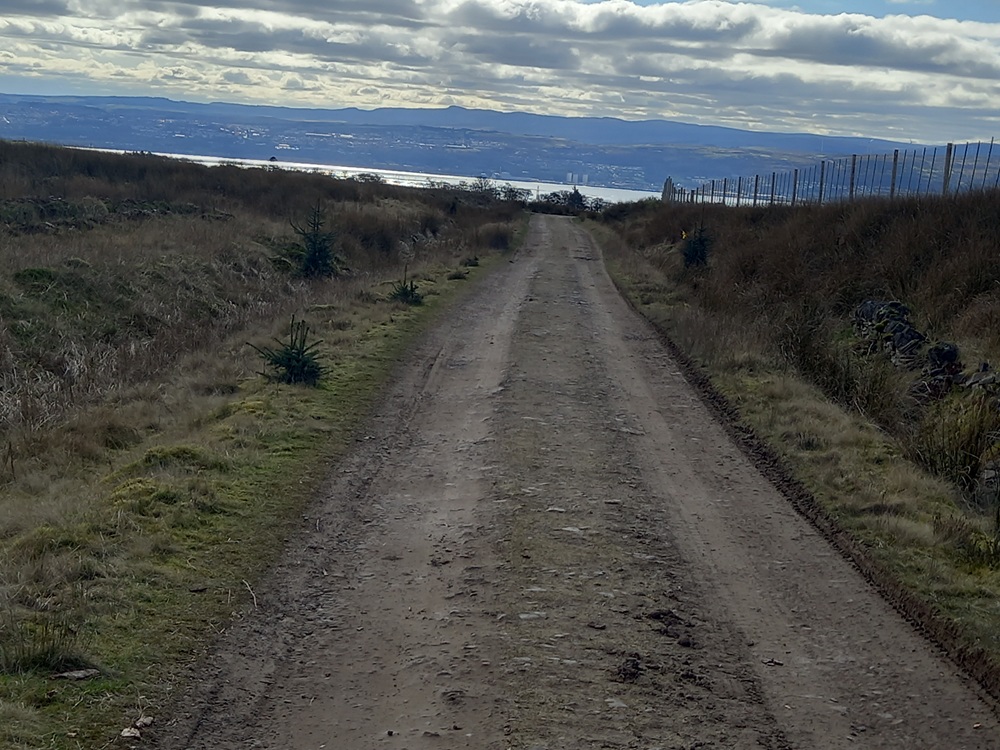
The walk now descend down to a farm, abandoned farm as far as I could see when I walked this path. 400 yards/meters down from this farm, there is another crossroad. Take the Stoneymollan Road to the left. The walk, now on a small tarmac road, now enters a forest while it follows and then crosses a small burn. The walk is now slightly undulating before it enter some farmlands. The road reaches Cardross. Follow the main road to the left for 100 yards/meters before the "Cardross Station" signpost to the right and the last bit of the walk down to the Cardross railway station.
Train from Cardross Station to Partick/Glasgow 2 times an hour.
Enjoy the walk !!