
Renfrewshire
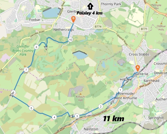
6 miles / 11 km
This is a nice early morning or after-work evening walk for those who want to improve their fitness level and/or add years to their lives. There are one very steep and a couple of steep climbs on the Fereneze Road and one steep climb on the Sargentlaw Road. The views towards Neilston and Paisley are scenic.

A medium hard walk
This is a pretty short, hard walk on some good, small roads ending up on an uneven, muddy gravel path at the end of the walk. Good shoes and plenty of cold soft drinks are recommended.

Train from Glasgow Central Station (upper level) to Barrhead 2 times an hour. McGills Bus 51/66 from Paisley Town Hall 4-5 times an hour.
Jump of the train/bus on the Barrhead Train Station and cross the Paisley Road to the start of Graham Street. The road/pavements, are pretty steep in the beginning before the road levels out and then becomes Gateside Road. There are a short steep climb up to the small Gateside village. The road becomes Fereneze Road and a single-track road up the hill from this village.
The road tops out here and then descends to the smelly waterworks and a short bridge. The climb at the other side of the bridge is desperate steep at times before it becomes less steep after a couple of hundred meters. A true fitness test.
There are some good views towards Neilston and Glasgow here. The road from Neilston soon joins the road and the road now makes a 90-degree turn to the right. After 100 yards/meters, take the pretty flat road to the left. The road becomes a bit steeper after 100 yards/meters before the Fereneze Road & Greenfieldmuir Road crossroad.
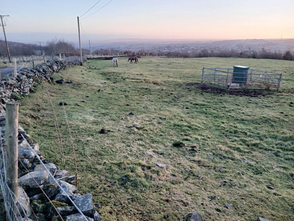
Take the road to the right, Greenfieldmuir Road. This road is scenic, surrounded on both sides by farm fields. There are normally a lot of cows grazing in these farm fields.
The road is slightly undulated before it ends up, after just over 1 mile/ 2 km, at Sargentlaw Road. Take the road to the right, just past the farm where normally there are some donkeys grazing on the farm fields on the left side.
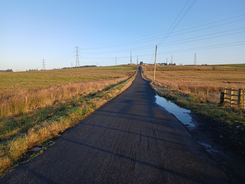
You are now facing the final hill of the walk... The Sargentlaw Road hill. This hill looks harder than it really is. It is still pretty hard. It is another fitness test, past a farm. There are normally some horses grazing on the farm fields to the right of the road. The road is topping out just before the fairways on the Paisley Golf Course. The views towards Paisley and the Kilpatrick Hills are your just reward for the hard walking up to this point. The rest of the walk is mostly descending from here.
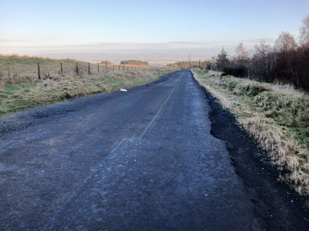
Walk 150 yards/150 meters past the car park until you reach the gates on the right side of the road. Leave the road here and follow the path. There may be some Highland Cattle here (it is their favourite spot). Say a friendly hello to them and follow the path which makes an U-turn around the trees to the right and up to a bridge over Gleniffer Burn. Cross the bridge and head down the uneven grassy path in the direction of Paisley. There are a tarmac down the hill to a gravel path which takes you on a flat path high above the valley floor the 500 yards/500 meters to a car park at the end of this gravel road.
Take the road to the left, down a steep descent down past some houses and shops until you reach the roundabout at Glenburn Road. Just before the roundabout, take the tarmac path to the right and cross Glenburn Road to the bus stop where this walk ends.
Bus # 26 (McGills) to Paisley town hall/Paisley Gilmour Street railway station 6 times an hour (20 minutes).
Enjoy the walk !!