
Muirshiel Park
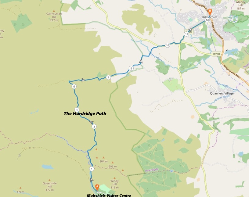
8 miles / 12 km
A hard, wet walk on some waterlogged gravel and grassy paths.

Very Hard
A serious walk on some wet paths which requires some good shoes and xtra pairs of socks. Walking poles are also a big advantage here. There is one big burn/river here with no bridge crossing it (see one of my pictures). Wet feet is guaranteed. The final third of the walk is a steept down and up crossing of a bridge. This is therefore a very serious walk. This walk is only doable after a lengthy spell of dry, sunny weather.

Public transport... Well, there is none. Take the train from Glasgow/Paisley to Lochwinnoch 2 times an hour. Taxi, Johnstone Taxies, the 8 miles from the train station to the often closed Muirshiel Visitor Centre. Cost somewhere between £ 12 and £ 20.
From the Muirshiel Park Visitor Centre, take the path to the left up the valley. I cannot remember if this path is signposted Hardridge. In any case, stay on the path on this side of the river. The path will take you past a couple of bridges. Do not cross them.
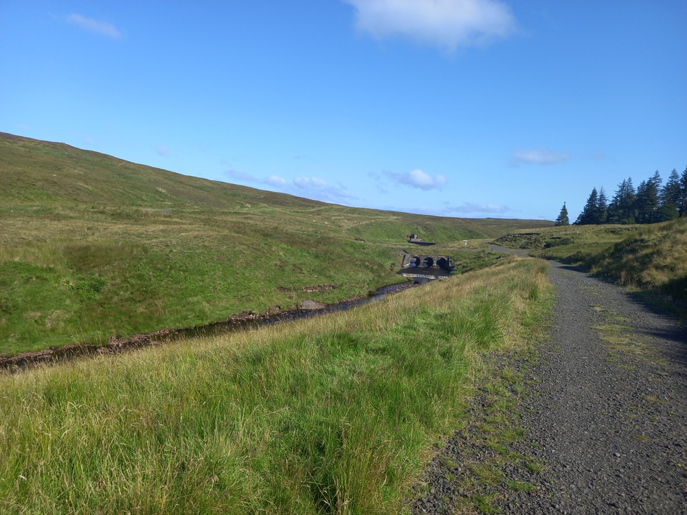
The gravel path now climbs out of the valley up to a ridge which may or not have given the name to this path (and walk). The waterfall here is actually pretty. So far, good/dry feet.
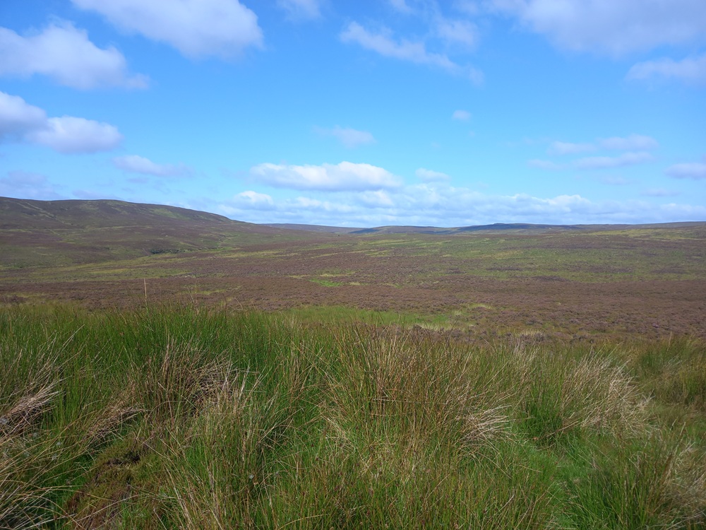
The views towards the west and most of the Muirshiel Country Park are impressive. I am not a big fan of mud and bogs. The views are like "Admire from afar but don't go there". It is still an impressive country park, just marred by the lack of public transport. Which probably is the reason why it is so beautiful. I have my double standards, indeed.
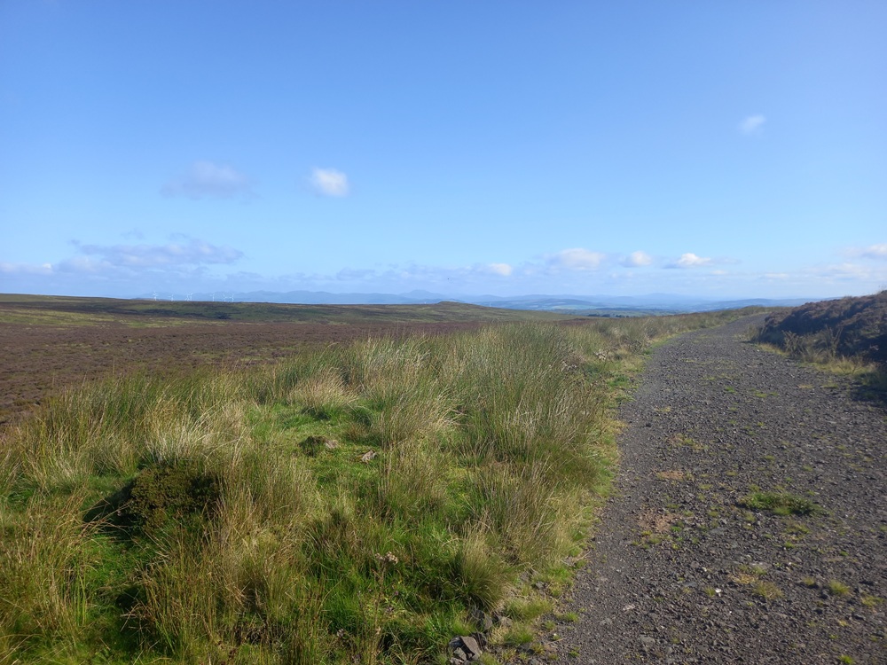
After crossing the ridge, the path becomes a bit undulating. The views towards the Gryffe Valley, Ben Lomond and the Kilpatrick Hills are pretty impressive from here.
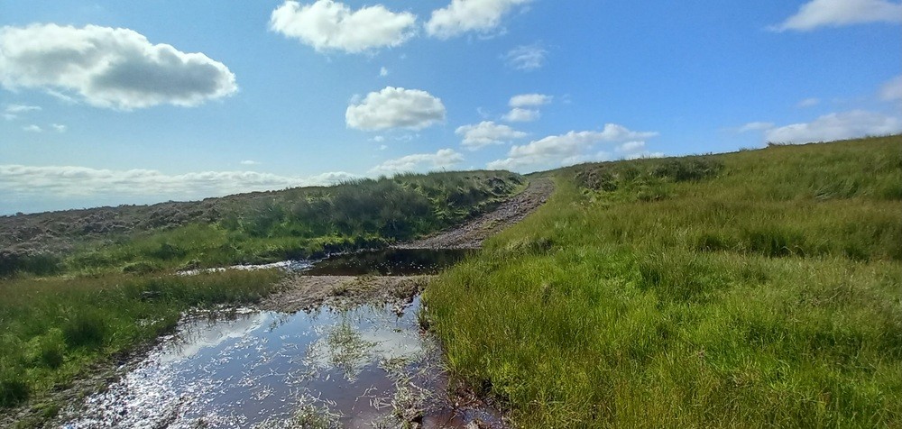
The views some hundred yards/meters further on and at the bottom of a small valley are NOT impressive. A stream/burn/small river has to be crossed and that by wading over the stream. The first of many waterlogged stretches of this path, I am afraid. Thoroughly wet feet are guaranteed for the next 3 miles.
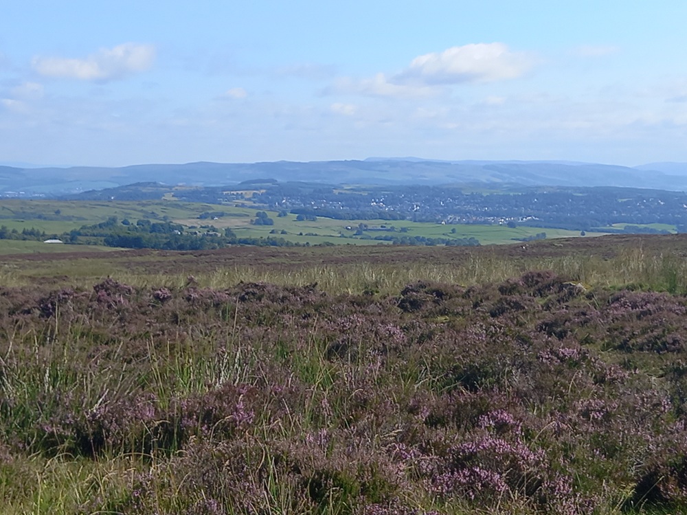
At last, Kilmacolm, the end of the walk is coming into view here. There are two bad pieces of news, though... More waterholes and small rivers has to be waded. The second piece of bad news is that Gryffe Valley has to be crossed too..
A crossroad on the now grassy path is now approaching after a short descent from a hill. Another small stream has to be waded/crossed again before the crossroad. Take the path to the right, down the hill.
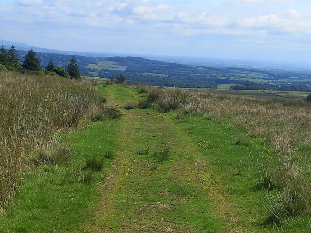
There are a couple of waterholes left here. Both of them can be avoided by a small detour to the left. Finally the grassy path descends through some bends to a badly maintained tarmac road and then down on some better tarmac to a crossroad. Take the road to the left. After 200 yards/meters or so, take the next road to the right. This road will take you down through a forest to Gryffe River, a bridge (hooray !) and a pretty steep climb up past a farm to the main road, B788. Take this road to the right. This walk, on the road's edge, is pretty scenic and a timely reminder of the beauty of this glen. After the crossing of a small hill, the road drops down to a crossroad. Take the road to the left on a good pavement to Kilmacolm. At the town square, take to the left again up to the bus stop 50 yards/meters up the road.
McGill's Bus X7 once an hour.
Enjoy the walk !!