
Kilpatrick Hills
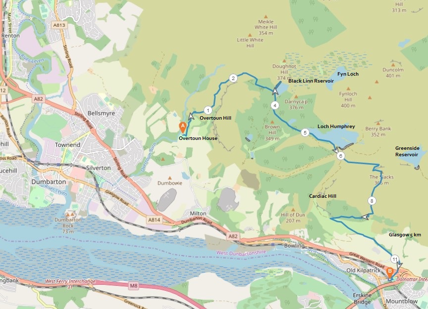
7 miles / 11 km
A pretty long and relentless hilly walk from the outskirts of Dumbarton to the outskirts of Clydebank.

Hard
A hard walk on a mix of grass, mud, and gravel. There are some tricky, technical walking on the camel humps from the Overtoun House up to the Black Linn Reservoir. The marking on the final part up to this reservoir leaves a lot to be desired. The descent down from The Slacks is not nice either. This is not a walk I recommend to walkers with mobility issues. Good shoes and plenty of drinks (more than you normally carry) are recommended as the final 1/4 of the walk is both very technical and very exposed to the sun (as I found out to my cost).

Train from Glasgow/Patrick to Dumbarton East 4 times an hour.
Taxi from Dumbarton East train station up to Overtoun House £ 10 - £ 20.
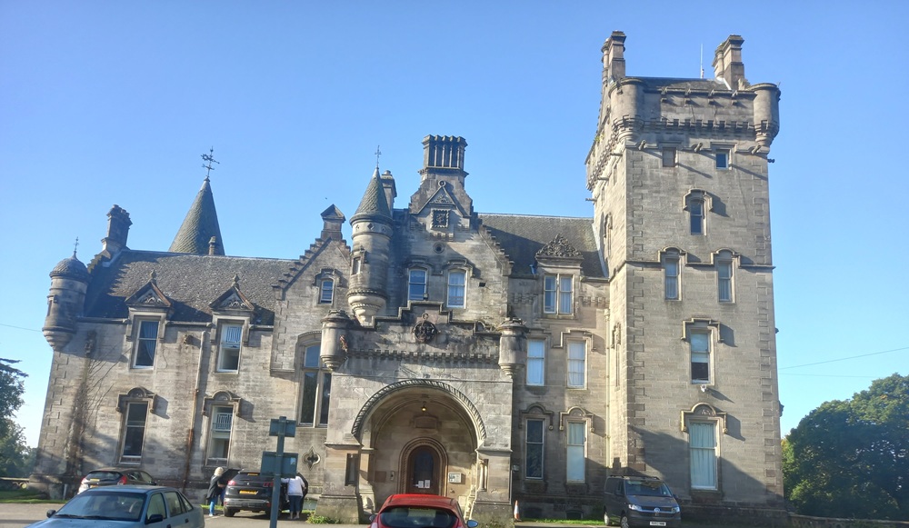
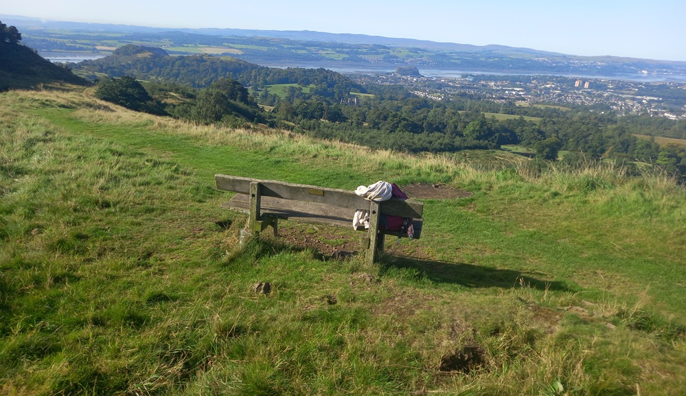
The Overtoun House, normally closed, is well worth a peek from the outside when you have paid for the taxi. Return the same way again for 100 yards/meters down the hill. The walk starts from the signposts, the path up the grassy hill to the left. Take this path up to a crossroad. You can here choose between the low road or the high road to the right. Choose the high road (path) to the right. The path takes you up some stairs to a bench, photographed below. The views are great here.
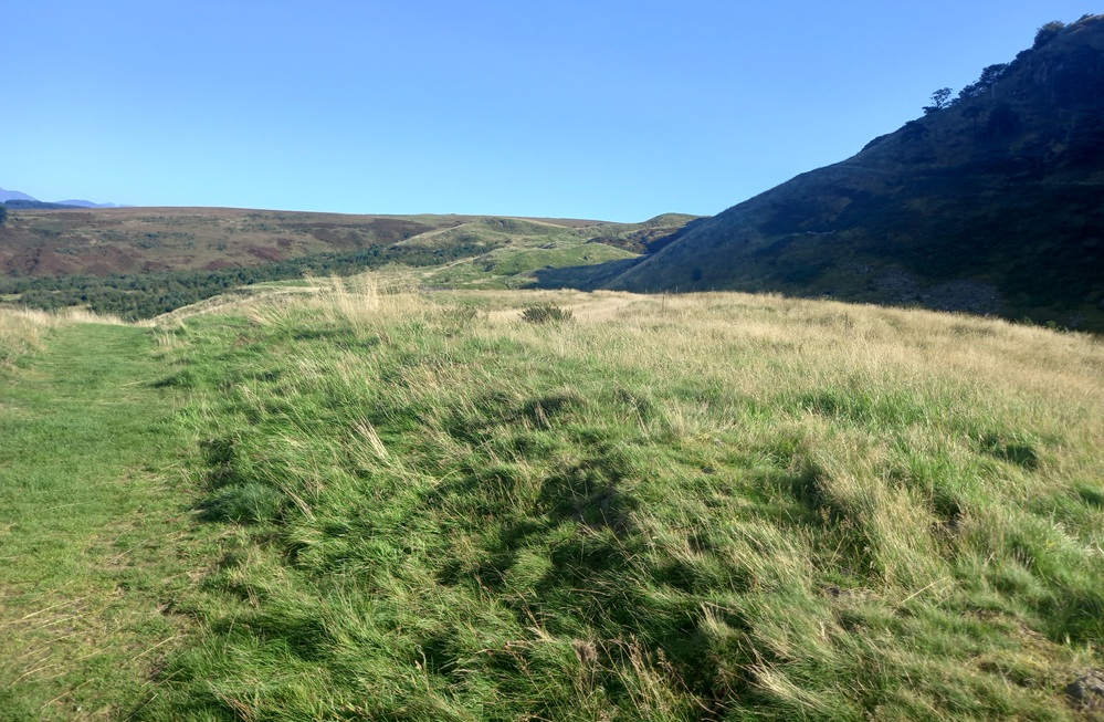
This good path now follows what can only be described as some camel humps along a ridge line. Scenic, but the walk requires your full attention. It is far too easy to break a leg/arm (or worse) on this exposed ridgeline.
The path ends up on a gravel road and then, as a badly maintained muddy path, goes straight up a hillside to a big gravel/mud road. This takes you to the Black Linn Reservoir and the dam there with the aptly named Doughnut Hill on the other side of the dam. I have climbing that hill on my to-do list too.
From the detour to the dam, climb back up to the gravel/mud road and follow this for some hundred yards/meters, with a small detour over the dam at Greenland Reservoir, to Loch Humphrey. Take the path to the left to the beginning of the path along this very scenic loch.
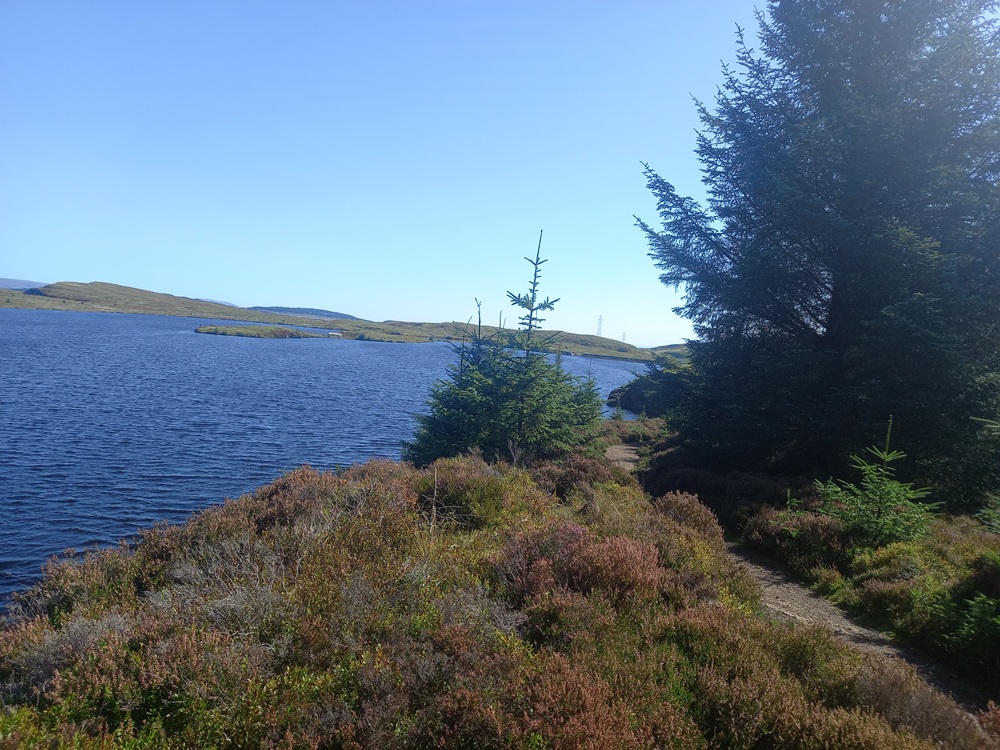
The walk alongside this loch is great and peaceful. The path ends on the Kilpatrick to Loch Humphrey gravel road. Take this road to the right up a small hill and then the first grassy path to the left again. This path follows another ridgeline along a big fence. The views towards Loch Humphrey and the lesser Duncolms (Duncolm is hidden behind them).
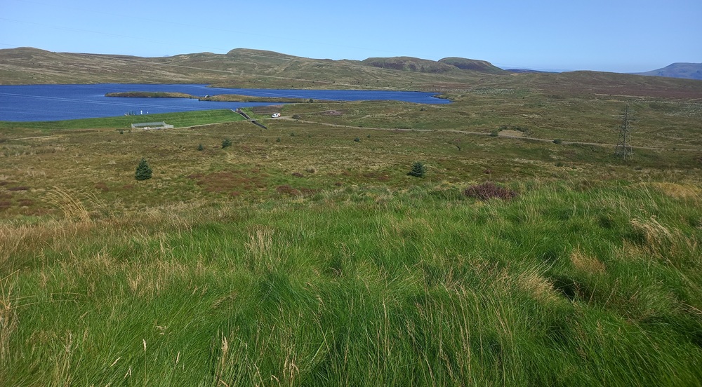
The path drops down to a small depression in the terrain. The grassy path now climbs pretty much vertically up this grassy bank to the top of the hill... The Slacks.
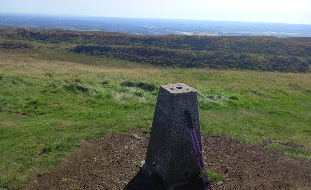
Take the path in the direction of the River Clyde from this trig point/top. There are some muddy hollows and a couple of false summits to negotiate before the narrow path through some dense vegetation descends down the hill to a small canyon and down this canyon.

This part of the walk requires full concentration. The descent ends up on a flat path which takes you over to the bottom of Cardiac Hill. At this crossroad, take the path to the left, down the hill on the gravel road and then a tarmac road to the end of this road, then first the Station Road under the motorway bridge and then finally by following the train station signposts on Mount Pleasant Drive. Thankfully, you do not have to cross the footbridge over the railway line to get to the train to Glasgow.
Train to Glasgow/Partick 2 times an hour.
Enjoy the walk !!